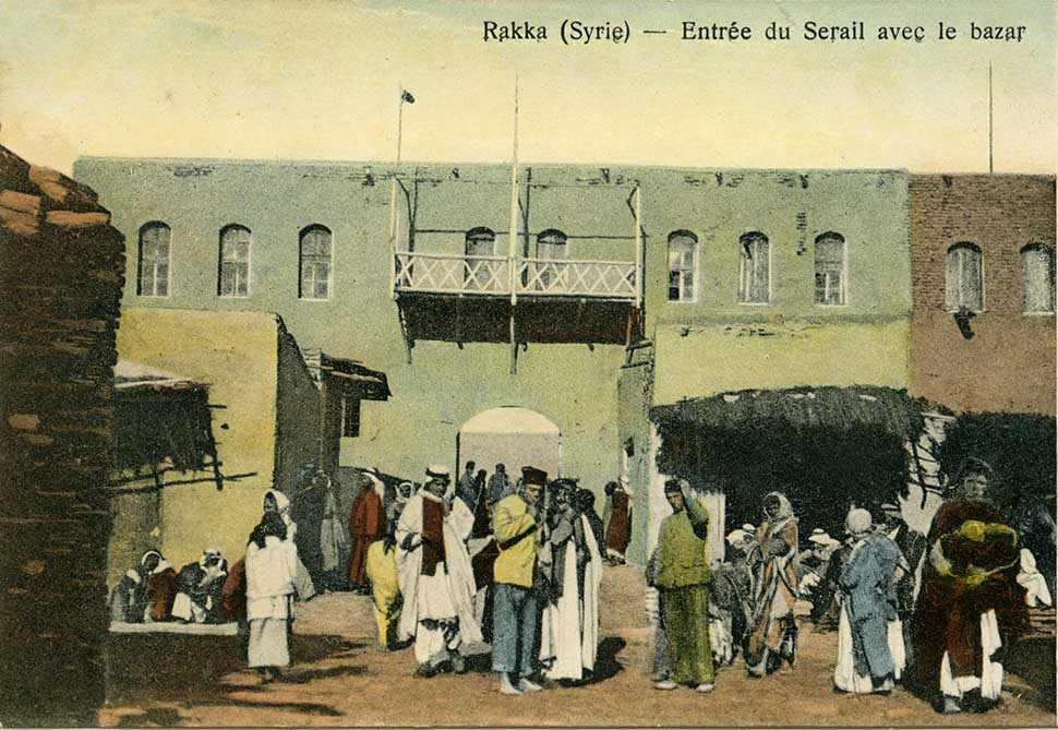
People mingling around the entrance to the government palace and bazaar in Raqqa. Circa 1910s. Norbert Schiller Collection, Phot. Watter Fréres
Raqqa, Syria’s sixth largest city, is located in an oil-rich province which bares the same name on the northern banks of the Euphrates River, about 160 kilometers east of Aleppo. Before the war broke out, Syria had been experiencing a tourism revival and there was a drive to restore ancient ruins in places off the beaten track like the Euphrates river valley and the country’s far eastern regions. The area surrounding Raqqa was particularly rich in historical sites and was the site of a number of excavation.

Panorama of Raqqa, circa 1910s, alongside the modern city, circa 1970s. Norbert Schiller Collection, phot. (L) Watter Fréres, Phot. (R) Syrian Min. of Tourism
When the U.S. began its bombing campaign in Syria in September 2014, the territory held by ISIS gradually shrunk and the group’s fighters became consolidated to small pockets of resistance. One such pocket is Raqqa where, according to the US-backed Syrian Democratic Forces, an estimated 15,000 to 20,000 civilians were being held hostage by nearly one thousand militants. Based on aerial footage, it is hard to imagine that anyone could still live in Raqqa. Like Homs, Syria’s third largest city, Raqqa looks like a scene from a post-apocalyptic science fiction movie. The city has been ferociously destroyed by the fighting.
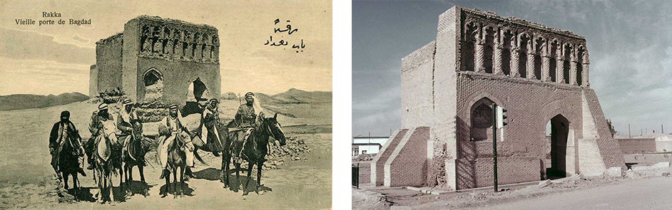
The Baghdad Gate circa 1910s, alongside the same gate circa 1970s. The gate and wall were built in the 8th century, during the Abbasid period. Norbert Schiller Collection, phot. (L) Watter Fréres, Phot. (R) Syrian Min. of Tourism
The city gained prominence after the Arab Muslim invasions of the 7th century. During what is known as the golden era of Islam, the ruler of the Abbasid caliphate Harun el Rashid moved the capital from Baghdad to Raqqa which remained the center of the empire from 796 until 809. Beginning in the 9th century, the city entered another turbulent era as it became caught in the midst of another power struggle. In 1260, it was finally wiped out by the Mongol invasions.
At the beginning in the 16th century, under Ottoman rule, Raqqa became a customs post on the Euphrates. It wasn’t until the worldwide cotton boom of the 1950s that the city began to develop economically and cotton remained one of its biggest exports until the outbreak of the war.
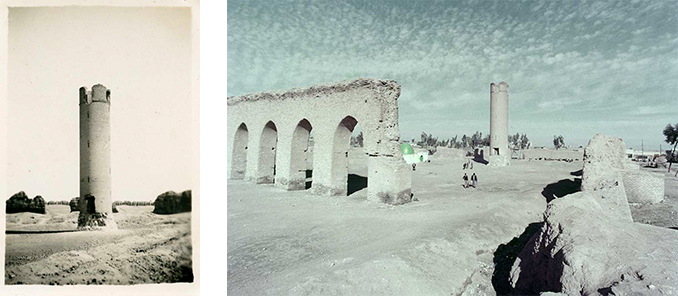
An original photo showing the ruins of a mosque build during the Abbasid period circa 1930s, alongside the same mosque circa 1970s. Norbert Schiller Collection, Phot. (R) Syrian Min. of Tourism

Ruins of Harun el Rashid’s palace dating back to the Abbasid period in the 8th century. Circa 1910s. Norbert Schiller Collection, Phot. by Watter Fréres
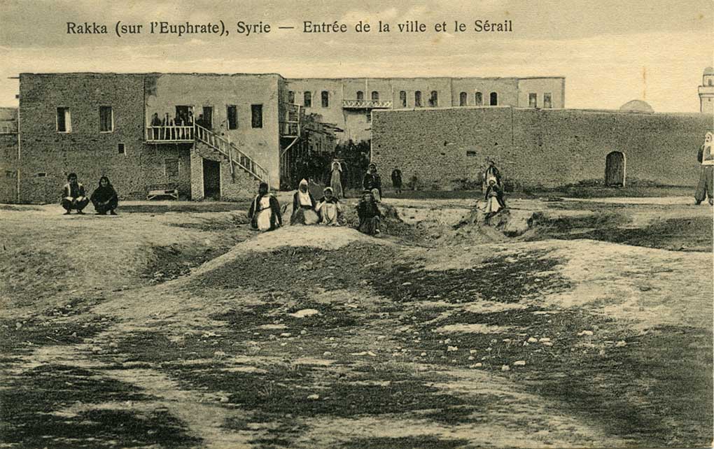
Entrance to Raqqa. Circa 1910s. Norbert Schiller Collection, Phot. Watter Fréres
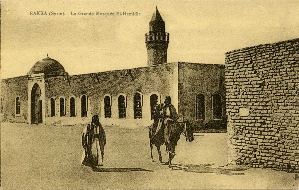
The grand el-Hamidie mosque in Raqqa. Circa 1910s. Norbert Schiller Collection, Phot. Watter Fréres
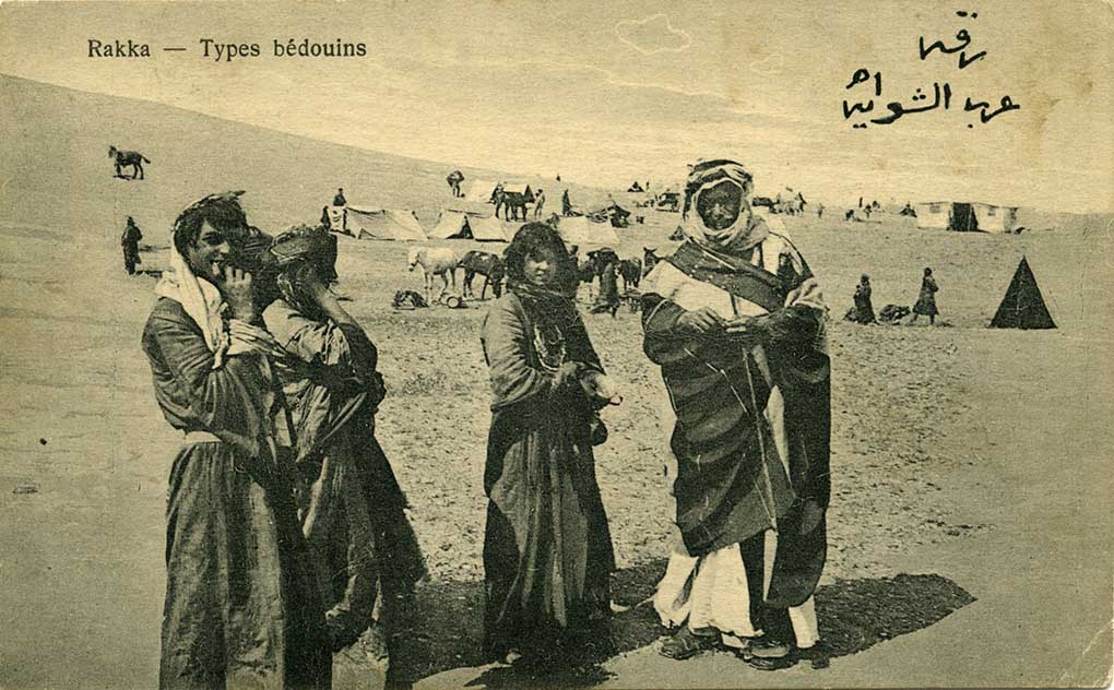
Bedouins camped near Raqqa. Circa 1910s. Norbert Schiller Collection, Phot. Watter Fréres

A boat crossing the Euphrates River near Raqqa. Circa 1910s. Norbert Schiller Collection, Phot. by Watter Fréres
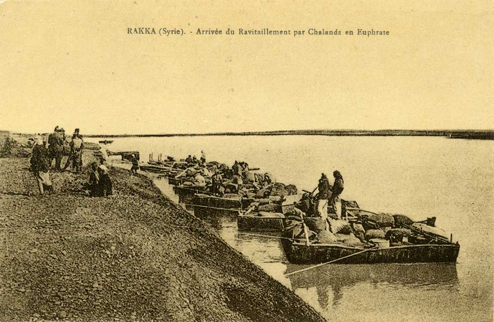
Boats carrying supplies docked on the banks of the Euphrates River near Raqqa. Circa 1910s. Norbert Schiller Collection, Phot. by Watter Fréres
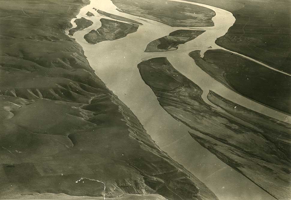
An original photograph of the Euphrates River between Raqqa and Deir Ez Zor, taken from the air by the French military. Circa late 1920s, early 30s. Norbert Schiller Collection
Another well-done piece ya Norbert, I wonder what is the etymology of Nicephorium?